Interactive School Maps
Interactive School Maps
Interactive School Maps are the perfect way to bring all of your schools media together in an engaging manner that helps demonstrate the facilities you have to offer.
Watch this short video to see how an Interactive Map of your school and grounds will create an immersive and engaging experience for prospective students and their families, in the safest way possible.
Find out more about our Interactive Map features below. Contact us today for a bespoke quote, tailored to the specific needs of your school.
Interactive School Maps
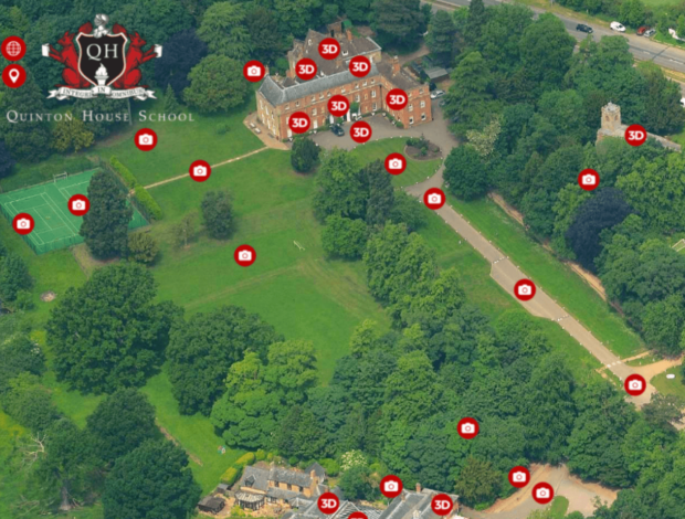
School illustrations, 3D School Maps and most recently School Aerial Photography have long been used to give prospective students and families a way of seeing school layout, size and facilities. School Viewer now bring these maps to life by embedding 3D Tours, 360° photography and school promotional videos inside. What was once a useful tool has become an immersive lead generation experience, allowing visitors to locate all facilities, virtually explore in HD as if there in person.
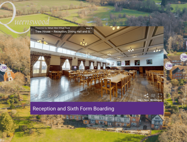
School Map with 3D Virtual Tour
Visitors can explore your school on any device in stunning HD with an interactive 3D virtual tour. Giving students and their families access to your facilities and grounds from the safety of their own home is a proven way to boost recruitment efforts. Embedded inside your school map, a 3D virtual tour has multiple benefits such as hotspots, unique 3D dollhouse model and alternative room set-ups. Find out more about 3D Tours here.
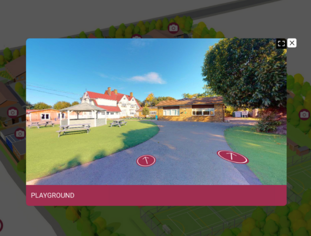
School Map with 360 Photography
360 photography of your school will enables online visitors to explore for themselves in a safe and engaging manner. 360 school imagery can include classrooms, shared spaces, external sports facilities and school grounds – bringing them to life as a remote walkthrough whilst also being presented on your illustration, 3D school map or aerial photography. Pre existing assets can also be used to help expedite the process and minimise costs.
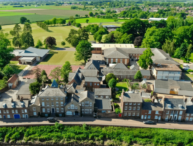
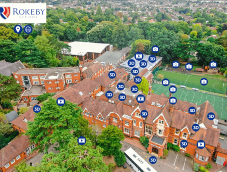
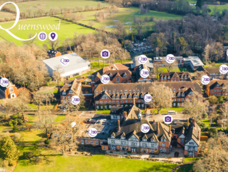
School Aerial Photography
For sites with multiple buildings, aerial photography of your school gives a comprehensive overview of all you have to offer. High definition imagery provides reassurance and showcases your layout from a birdseye perspective, taking in the location and surroundings. Combine 3D Tours with your photography to guarantee a user experience like no other.
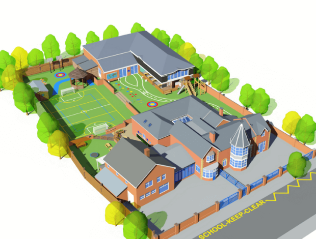
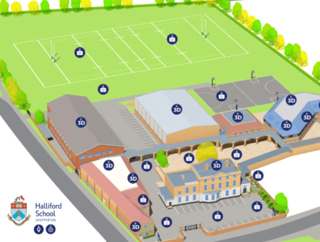
3D School Map
A 3D Map of your school is a visually effective way of showing your site plan and layout. Maps can be as simple or as detailed as required and created from any angle. 3D School Maps are partially useful for schools in built up areas that would like to show their campus in a clean and clear way without surrounding buildings. If overlayed with with 3D Tours or 360 photography, a map is transformed into an impressive student experience.
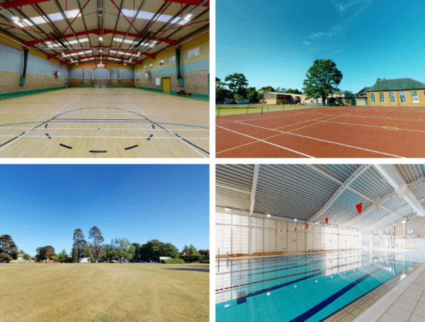
School Grounds and Sports Facilities
Your school is more than just a building – often your grounds and sporting facilities are a key factor in what families and students are looking for in an education setting. Being able to show these areas is vitally important. Every School Interactive Map includes 360° photography of external grounds and sporting facilities.
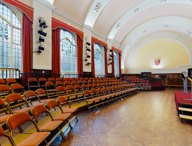
HD Image Pack & 360° Photography
When creating a school map, the 360 school photography of your school will also be provided as a number of stand alone 360 photographs that can be utilised on social channels such as Facebook. You will also receive a suite of HD School Photography that can be used in school marketing brochures, on websites and for any other commercial photography use.

